
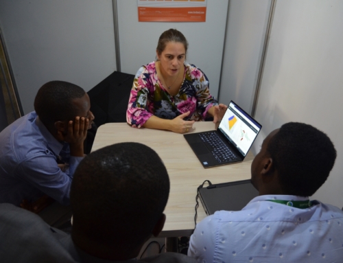
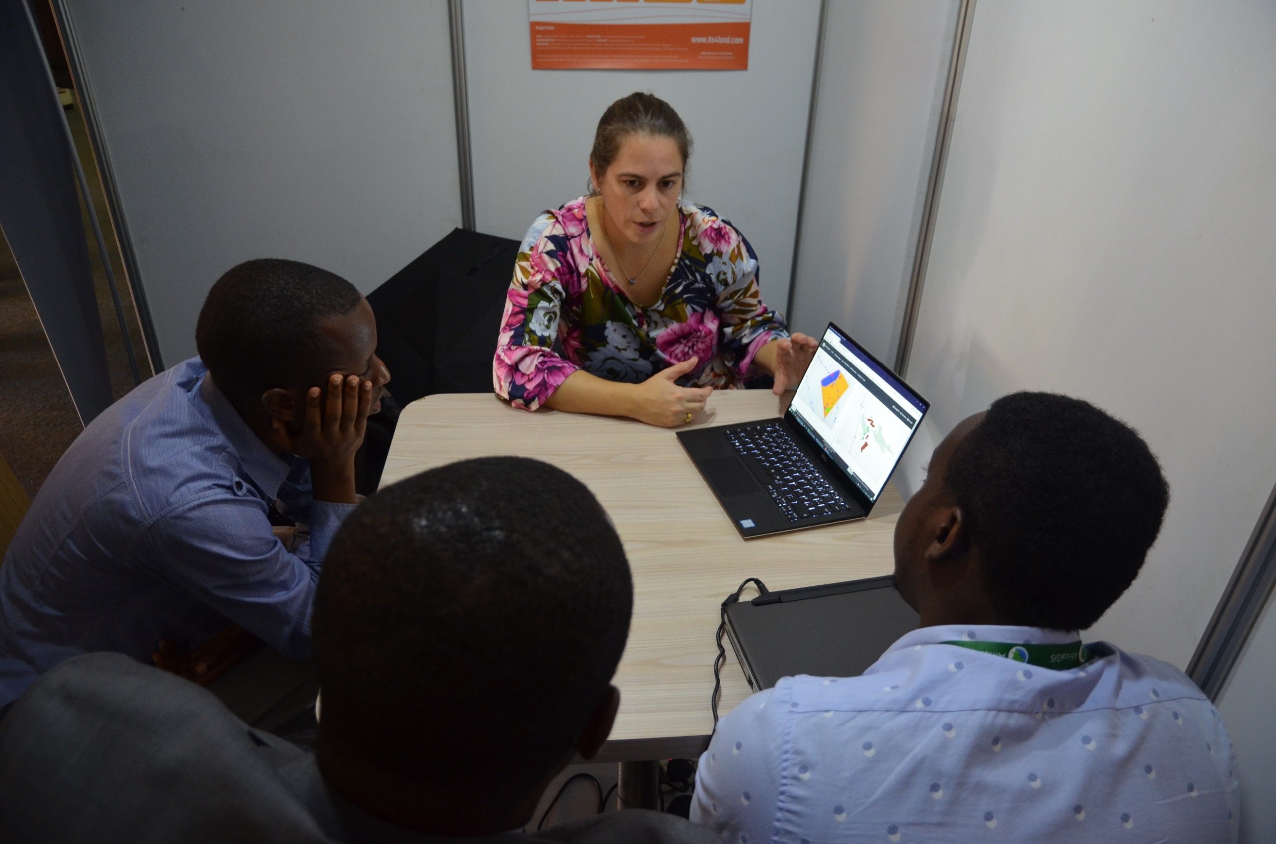
What: WP5 Dissemination – Publications x 2*
Where: Remote Sens. 2016, 8(8), 689; doi:10.3390/rs8080689 + Remote Sens. 2017, 9(2), 171; doi:10.3390/rs9020171
When: August 2016 and February 2017
Who: Sophie Crommelinck, Rohan Bennett, Markus Gerke, Francesco Nex, Michael Ying Yang and George Vosselman
Why: The first paper reviews the available tools for extracting boundary features from UAV imagery, the 2nd delivers the results of the application of a machine-learning approach – gPb – on several testbed locations.
*Crommelinck, S., Bennett, R.M., Gerke, M., Yang, M.Y. and Vosselman, G. (2017) Contour detection for UAV-based cadastral mapping. In: Remote Sensing : open access, 9 (2017)2article no. 171, 13 p.
*Crommelinck, S., Bennett, R.M., Gerke, M., Nex, F.C., Yang, M.Y. and Vosselman, G. (2016) Review of automatic feature extraction from high-resolution optical sensor data for UAV-based cadastral mapping. In: Remote Sensing : open access, 8 (2016)8article no. 689, 28 p.


Recent Comments