
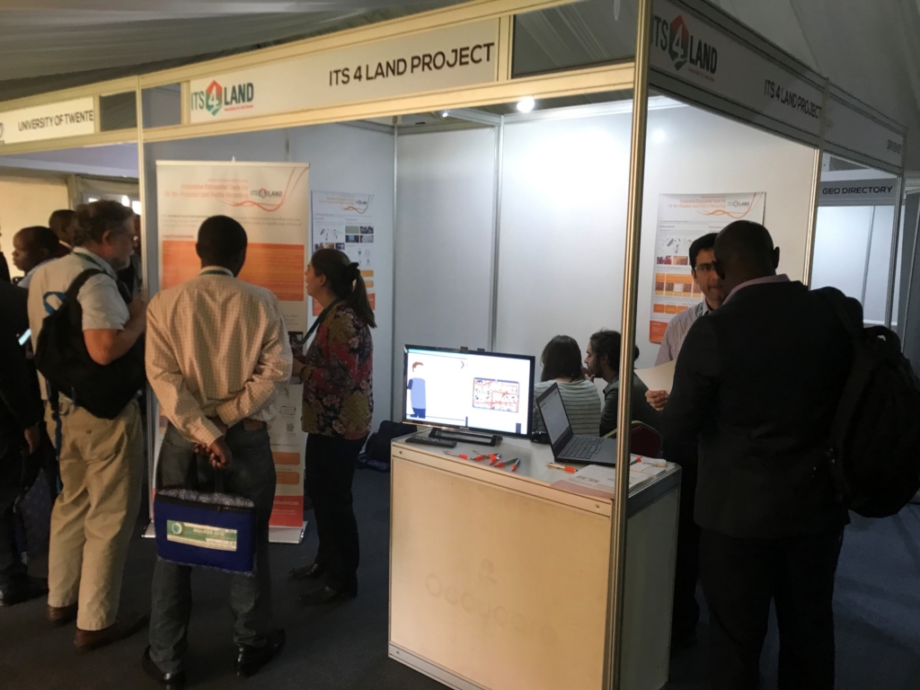
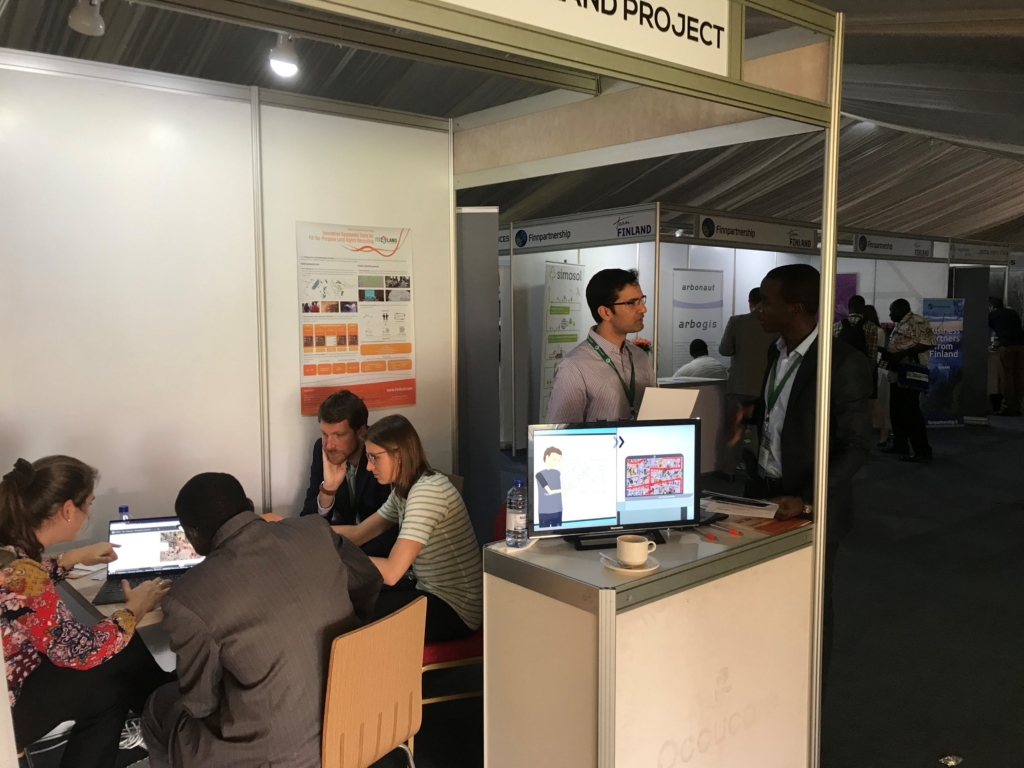
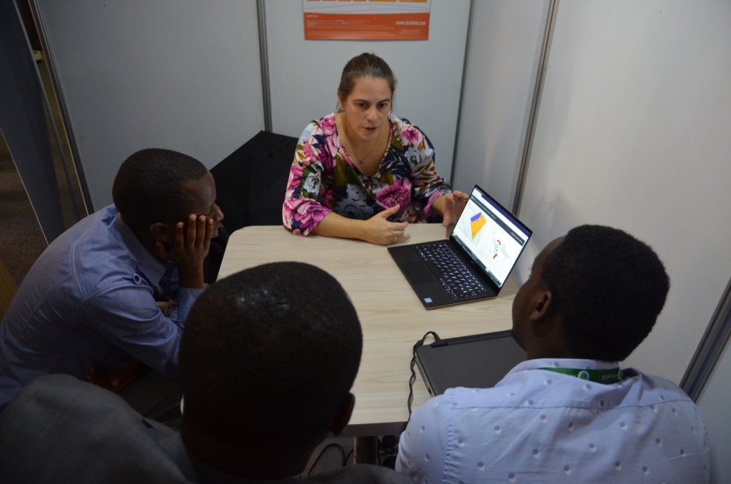
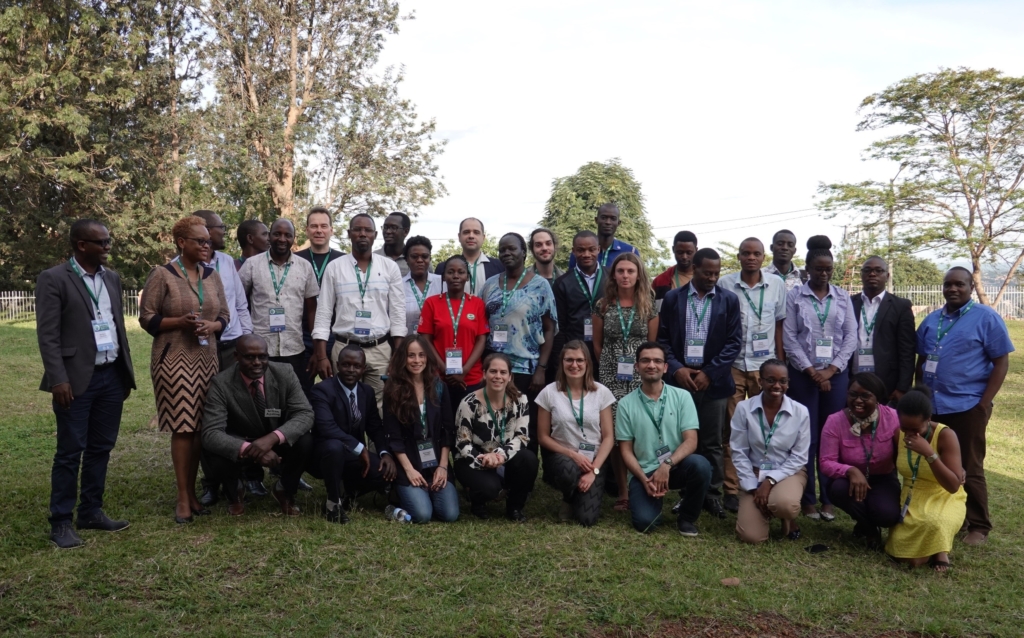
AfricaGIS is the largest geospatial, science and technology conference on the African Continent. The conference is held every two years and is organised by EIS-Africa, a pan African non-profit organisation. The AfricaGIS conference and exhibition series have become a flagship geospatial information marketplace in Africa. For the past 20 years, the series have contributed immensely to the development of skills and institutional capacity in geoinformation across the continent. This year’s conference was held in Kigali, Rwanda, from 18 to 22 November. With around 500 participants from the entire African continent, it provided an excellent platform to showcase and demonstrate the its4land land administration toolbox.
Therefore the its4land project decided to rent an exhibition booth and offer live demonstrations of the Smart Sketchmap – Smart SkeMa software tool, the Visible Boundary Delineator as well as the Publish and Share platform. There were also 20 other exhibitors present during this conference representing different commercial and academic as well and international organisations. Some of these were Supermap from China, Finnpartnership from Finland, Digital Earth Africa, ESRI, the University of Rwanda etc.
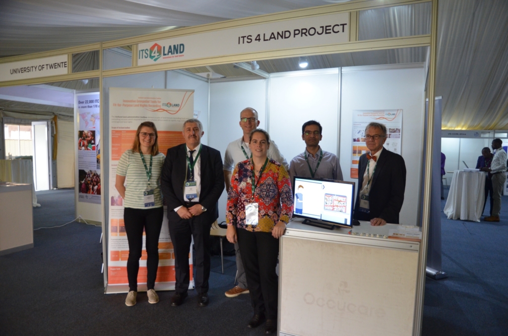
The its4land project partners from WWU, University of Twente – ITC, ESRI Rwanda and Hansa Luftbild were present during the entire conference (INES was present on selected days too) to present the project exploitable results and showcase the innovative its4land software tools. The professionals who showed interest in these tools were from the GIS or the land administration sector.
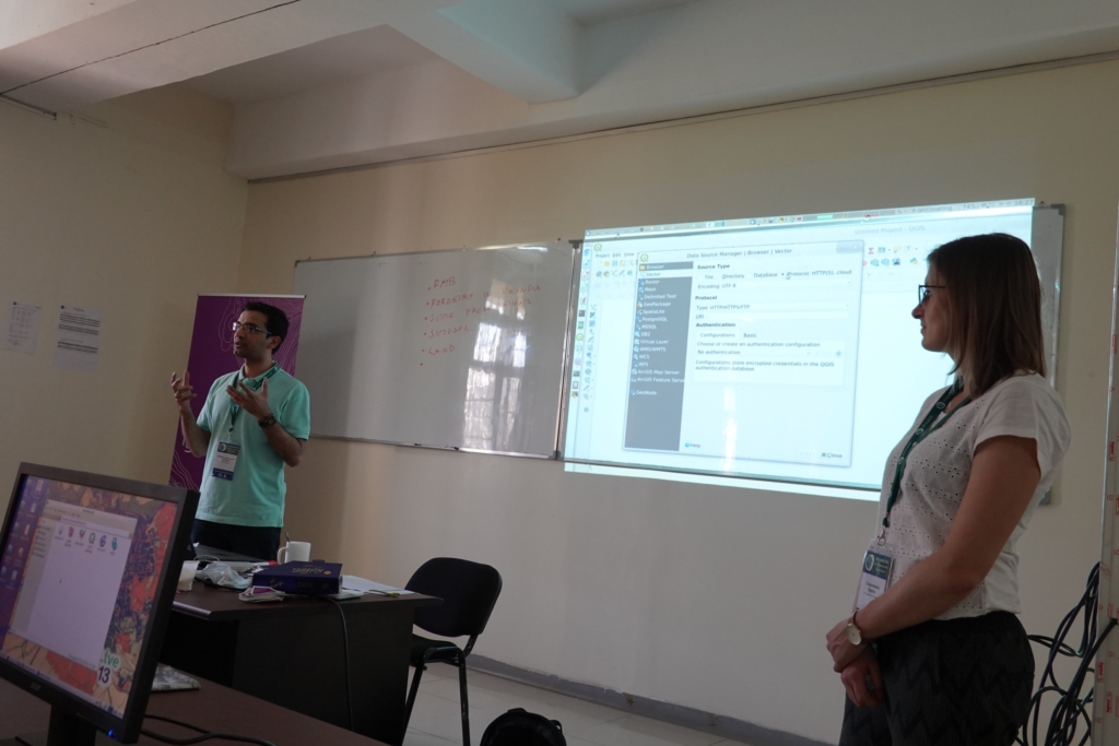
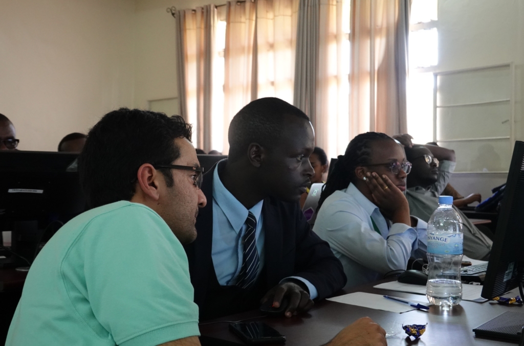
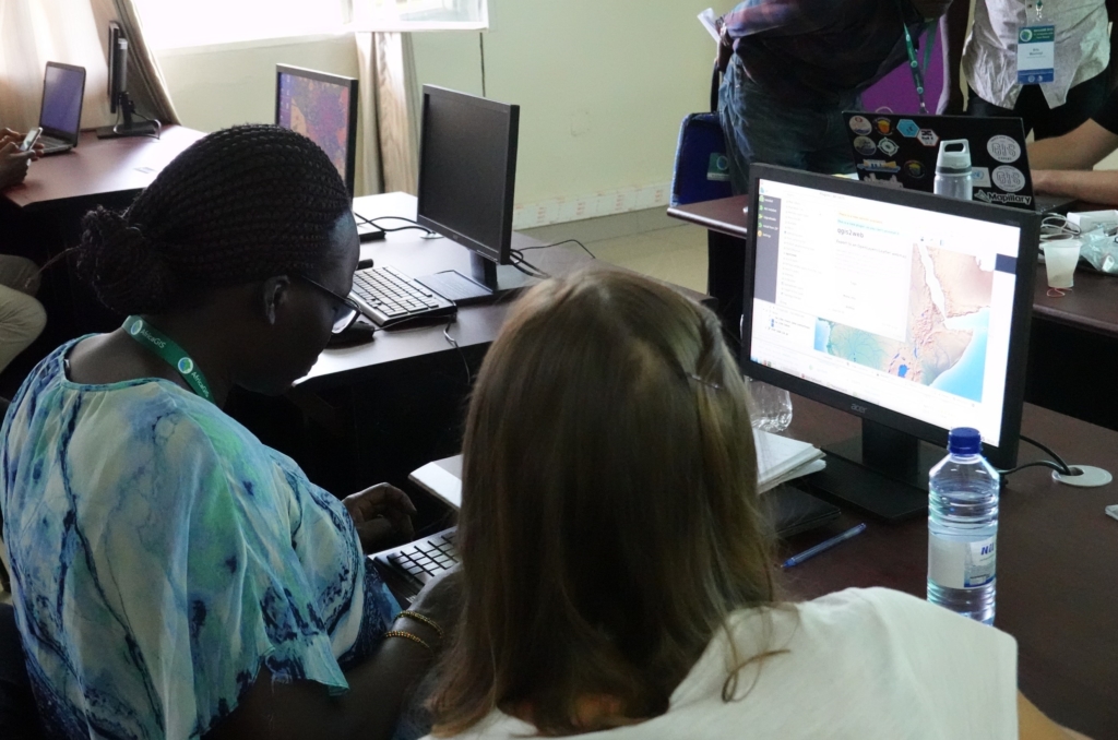
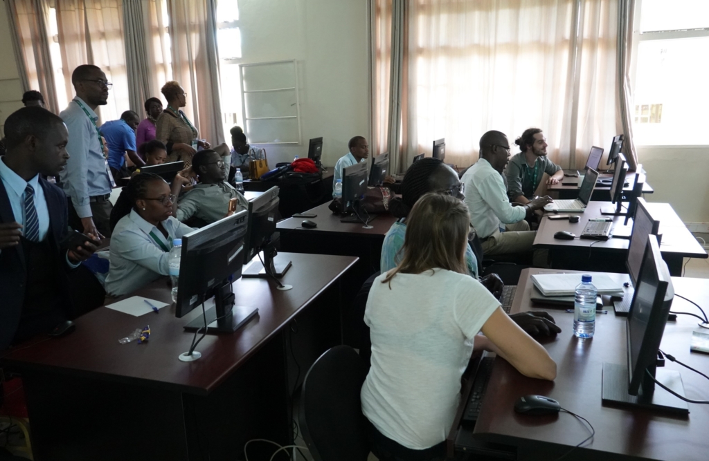
The its4land partners of WWU, UT-ITC and Hansa Luftbild held a workshop on Monday 18 Nov under the FOSS4G (Free Open Source Software for Geospatial) sessions to present the software tools which were developed in the its4land project. This workshop introduced the participants to the Smart Sketchmap, the Visible Boundary Delineator and the Publish and Share platform, where these participants gained first-hand experience in using the software tools. Around 20 participants attended this workshop. The following figures give snapshots of its4land at the AfricaGIS conference.
On Thursday 21 Nov. ITC organized an Alumni-Reception inviting both Alumni and conference participants. The informal format of the event provided also a good opportunity to continue the discussion about its4land and its exploitable results.
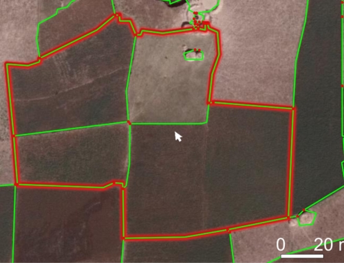
Visible Boundary Delineator tool


Recent Comments