
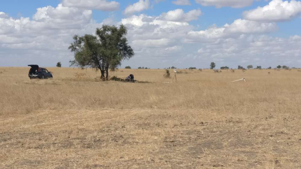
What: Fieldwork in Kajiado, Kenya
When: 26-27 September 2018
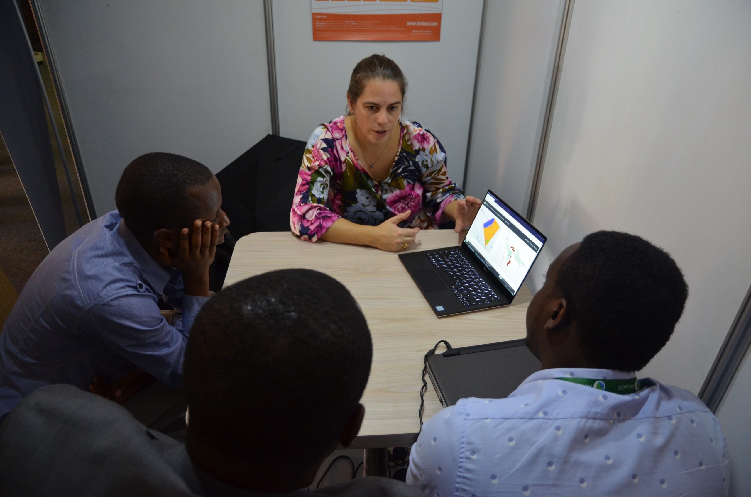
Who: Sophie Crommelinck, University of Twente/Faculty of Geo-information Science and Earth Observation (ITC), Netherlands
Purpose: To collect images, information and locations of cadastral boundaries and to get insights into current land mapping procedures and land-related challenges
Setup: Together with a PhD candidate from the Technical University of Kenya (TUK), Beatrice Chika, who works on demarcation issues of general boundaries and two village elders, Sophie walked around Kajiado Township to capture images, information and locations of cadastral boundaries. These data were captured by a smartphone with a build-in GPS sensor of 3 m accuracy.
Outcome: Sophie was able to understand and capture local boundary demarcations, registration terms and procedures, as well as land-related conflict examples. She was able to test her boundary delineation workflow on that UAV data.
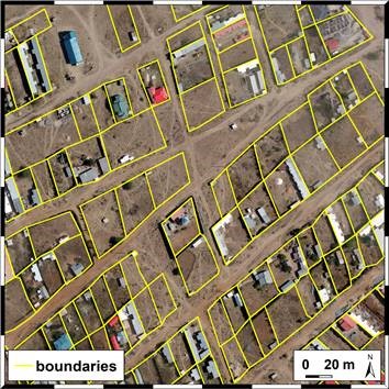
interactively delineated boundaries for two sample areas in Kajiado
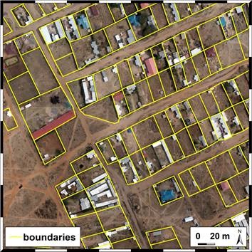
Follow-up: Sophie will come up with an analysis of where her approach works better/worse than manual delineation and use the data to demonstrate example cases.


Recent Comments