
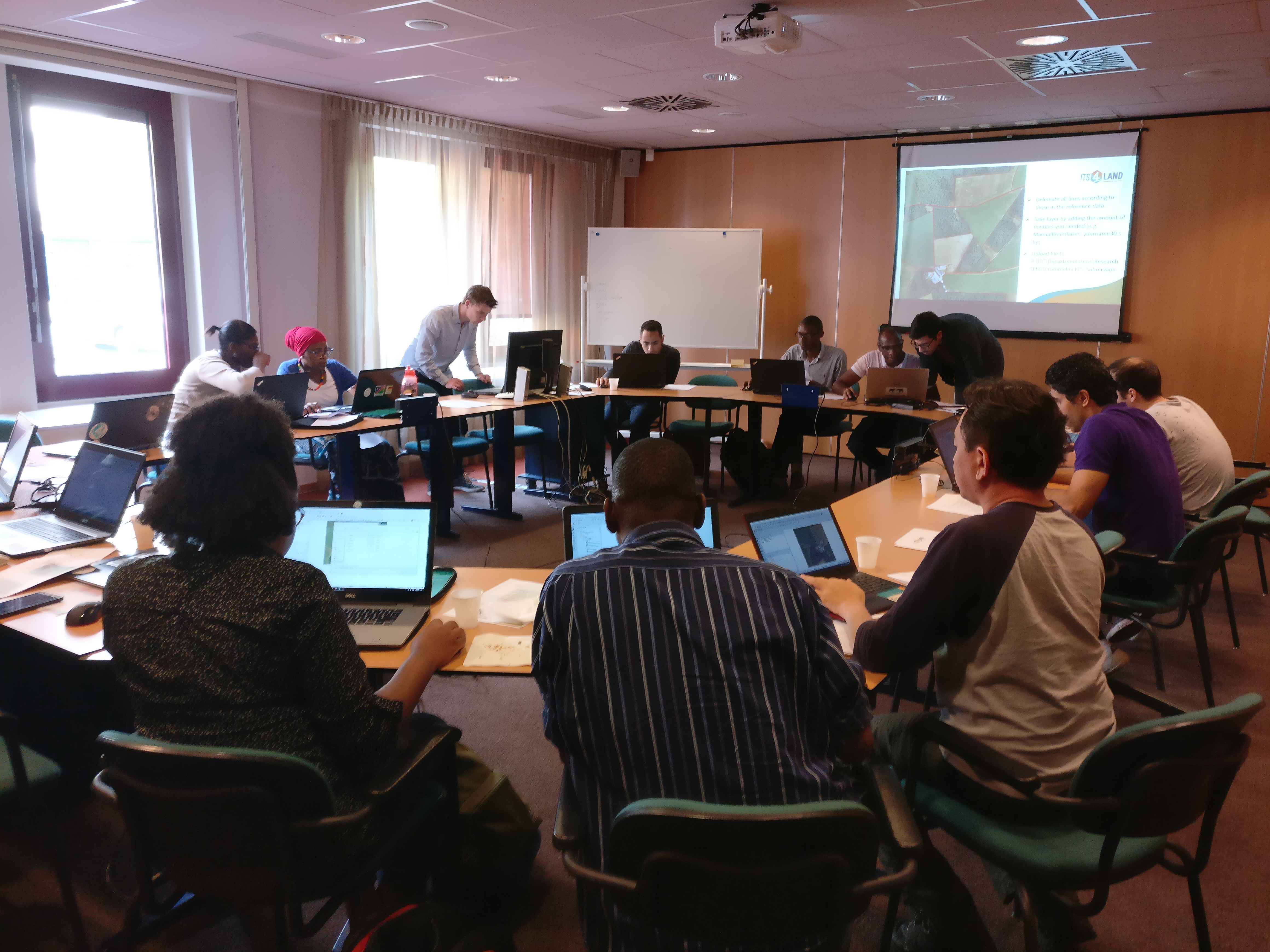
What: its4land organised a workshop to test its newly developed QGIS plugin capable of delineating field boundaries
Where: University of Twente/ITC, Enschede, Netherlands
When: Tuesday 23 May 2017
Who: 14 volunteers
Why: 14 volunteers, all MSc or PhD students from ITC, were asked to delineate visible land parcel boundaries once manually and once with the help of a newly developed QGIS plugin. Sophie Crommelinck, work package 5 leader and responsible for developing the field delineation plugin, had asked the students to fill out a questionnaire afterwards on their qualitative impression, recommendations, usability of the plugin etc. Sophie will compare the results of the manual and plugin-based delineation with reference data in terms of detection and localization quality and use the outcome to further improve the plugin.
Please visit the work package 5 section of our website for more information about work package 5 ‘Automate It’, which includes a manual and an online demonstration of the QGIS plugin.


Recent Comments