Recent Tweets

Recent Comments

/News/

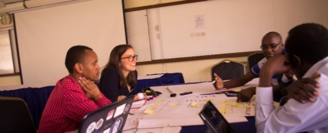
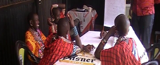
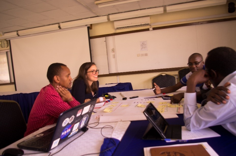
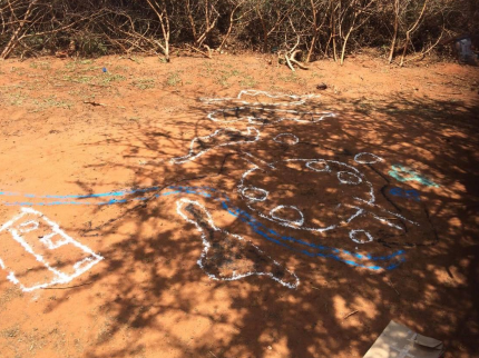
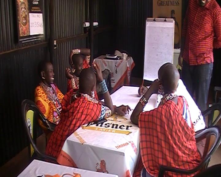
Interviews in Rwanda and Kenya to better understand the land tenure recording governance

What: Qualitative data collection in Rwanda and Kenya to understand the governance of the current land tenure recording situation and to find out how the its4land tools need to be used in a sustainable way. Where: Musanze and Kigali in Rwanda & Kajiado and Nairobi in Kenya Who:   Rwanda: INES Ruhengeri and Esri Rwanda (Rwanda) [...]

By | November 8th, 2018|News|0 Comments

Meeting – its4land MT 23

What: its4land MT23 Where: Online (participants from Netherlands, Belgium, Germany, Rwanda, Kenya and Ethiopia) When: Thursday 8 November 2018 (14:00 – 16:00 CET) Who: its4land MT members Why: The MT meets on a regular basis, particularly with regards to milestone accountability and deliverables.

By | October 31st, 2018|Meetings|0 Comments

Milestone in development of smart sketch maps system

Its4land researchers from the Institute for Geoinformatics at the University of Muenster submited three deliverables on 31st July this year. The three deliverables D3.3 qualitative representation of sketch maps; D3.4 documentation of extended LADM; and D3.5 prototype for sketch map alignment are all part of the Smart Sketch Maps system (a.k.a. Smart SkeMa) being developed under Work Package 3 of its4land. All [...]

By | October 29th, 2018|News|0 Comments

Symposium on Feature Extraction for Cadastral Boundaries

What: Symposium on Feature Extraction for Cadastral Boundaries Where:  University of Twente, Faculty of Geo-information Science and Earth Observation (ITC) When: 25 October 2018 Joined event between ITC and Kadastre International - exchange of experience in automatisation on feature extraction from imagery. Mila Koeva presented its4land and Sophie Crommelinck demonstrated the developed open source its4land tool.

By | October 27th, 2018|News|0 Comments

Workshops for feedback on its4land’s Smart Skema system

What: Field work in Kenya to demonstrate the functionality of the Smart Skema system in order to receive feedback on how the system could be used in actual practice Where: Kajiado and Nairobi, Kenya When: 24 September - 2 October 2018 Who: Malumbo Chipofya and Sahib Jan, researchers from Institut für Geoinformatik (WWU), Münster, Germany. Community [...]

By | October 18th, 2018|News|0 Comments

Capacity development – image processing workshop for its4land UAV pilots

What: Capacity development – image processing workshop for its4land UAV pilots Where: Regional Centre for Mapping of Ressources for Development (RCMRD), Nairobi, Kenya When: 2 and 3 October 2018 Who: Lead: University of Twente, Faculty of ITC (UT/ITC, Netherlands), Participants: Technical University of Kenya (TUK), Institut d’Enseignement Supérieur de Ruhengeri (INES, Rwanda), ESRI Rwanda, Bahir Dar [...]

By | October 15th, 2018|News|0 Comments

3D GeoInfo Conference

What: its4land's Mila Koeva organized together with TU Delft the 2018 3D GeoInfo Conference Where: Delft, Netherlands When: 1 and 2 October 2018 Who: Mila Koeva, University of Twente, Faculty of Geo-information Science and Earth Observation (ITC) Mila Koeva its4land Project Coordinator has to wear one more cap this October. She was glad to organize together with TU Delft the [...]

By | October 5th, 2018|News|0 Comments

its4land roadmap meeting – 4

What: fourth its4land roadmap meeting Where: KUL, Leuven, Belgium When: Wednesday 17 October 2018 Who: all project partners Why: The purpose of this roadmap meeting is to look forward and define the roadmap for the last 16 months of the project.

By | October 4th, 2018|Meetings|0 Comments

its4land UAV image processing workshop

What: its4land UAV image processing workshop Where: Regional Centre for Mapping Resources for Development (RCMRD), Nairobi, Kenya When: 2-3 October 2018 Who: Claudia Stöcker Why:  2-day its4land UAV image processing workshop. The first day of the workshop will cover data preparation with the main focus on the data captured with the DT18. The second day will focus on the [...]

By | September 16th, 2018|Events, Previous Events|0 Comments

Its4land workshop on Innovative Geospatial Technologies to Enhance Land Tenure Security in Kenya

What: Its4land workshop on “Innovative Geospatial Technologies to Enhance Land Tenure Security in Kenya Where: Kajiado and  at Regional Centre for Mapping Resources for Development (RCMRD), Nairobi, Kenya When: 30 September - 2 October 2018 Who: Claudia Stöcker, Ine Buntinx, Malumbo Chipofya, Jan Sahib, Sophie Crommelinck, Chiel Stroeven Why:  In the workshop we will introduce the its4land technologies [...]

By | September 15th, 2018|Events, Previous Events|0 Comments