
What: Field work in Kenya to demonstrate the functionality of the Smart Skema system in order to receive feedback on how the system could be used in actual practice
Where: Kajiado and Nairobi, Kenya
When: 24 September – 2 October 2018
Who: Malumbo Chipofya and Sahib Jan, researchers from Institut für Geoinformatik (WWU), Münster, Germany.
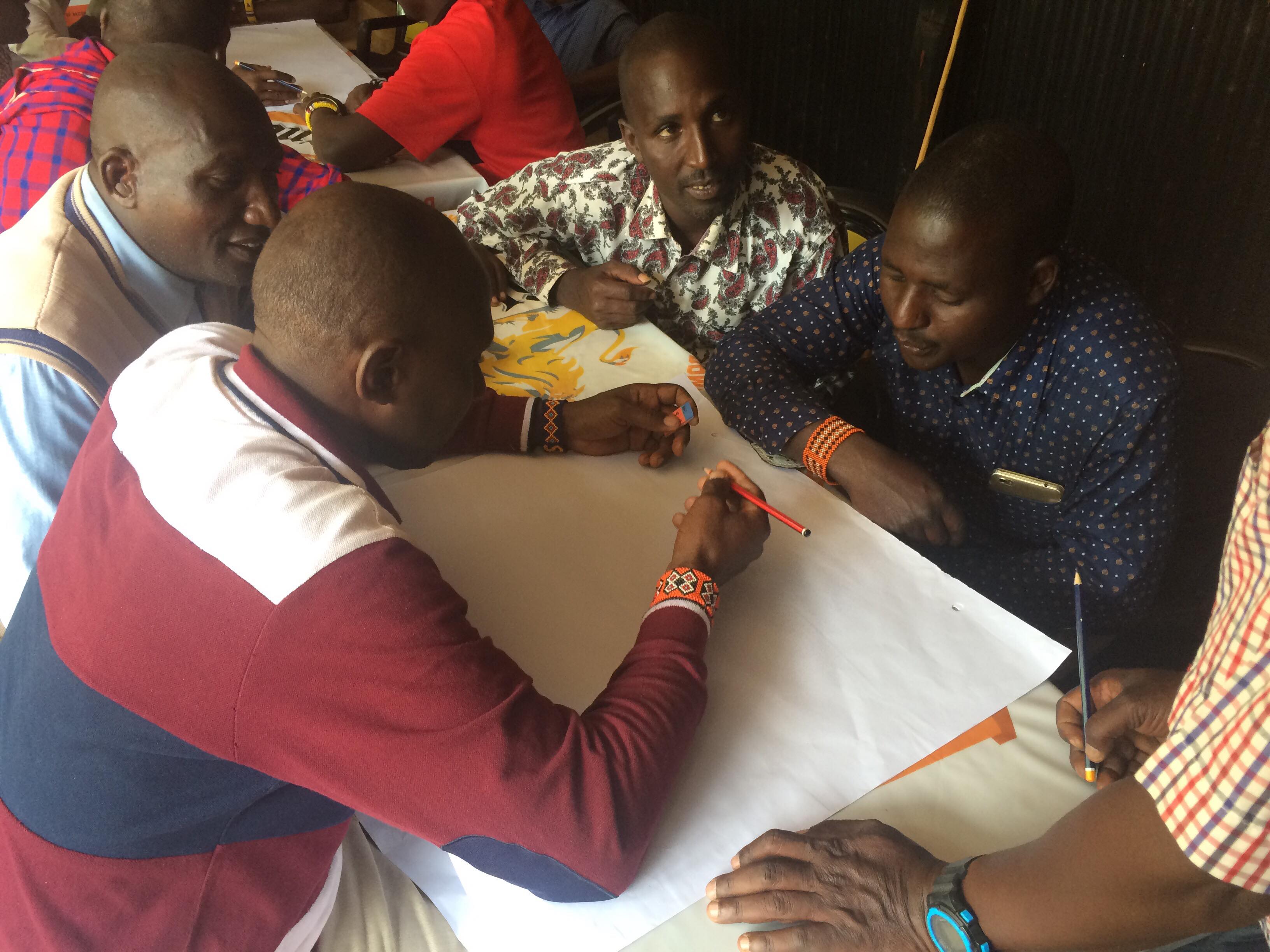
Community mapping exercises in Kajiado with men.
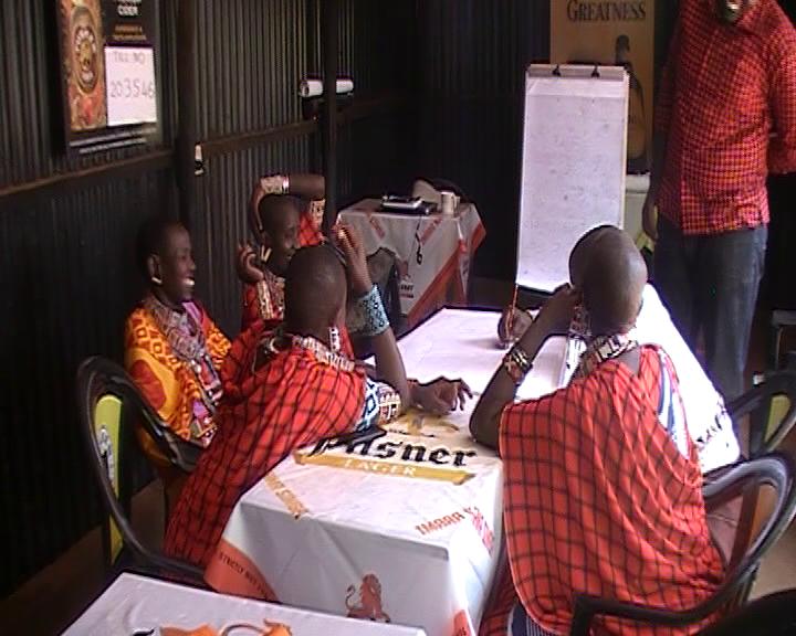
Community mapping exercises in Kajiado with women.
From 24th September 2018 to 2nd October 2018, Malumbo Chipofya and Sahib Jan, researchers from Institut für Geoinformatik (WWU), Münster, Germany, working on the ‘Draw and Make‘ work package participated in its4lands joint field work in Kenya where they conducted two community mapping sessions, an interview with community elders, and three workshops.
The goal was to demonstrate the functionality of the Smart Skema system in order to receive feedback on how the system could be used in actual practice.
The community mapping, interviews, and workshops gave great insight into the strengths of the Smart Skema design, it highlighted areas that could be improved and areas that would require additional consideration outside of the tool’s scope.
Highlights:
- Elders from the local community thought a community lands register would be instrumental in supporting them to influence the land management practice in their area.
- A number of surveyors considered the most useful aspects of the tool to be
- as a source for initial data to be used for orientation and decision making in the field and
- as way to capture cultural information that must be taken into account when mapping land or for demarcating land use zones.
- As a tool to support community mapping it could already be used in the work of organizations that are already engaged in the practice. For example, in some communities around the country community sketch mapping is already used to create grazing zones.
- An expected criticism was the lack of precise coordinate information when the tool is used. It was noted that this could be overcome by performing the sketching on top of an aerial image where possible. It is unclear at the moment who would own the data produced by the tool. Is it the community, the authorities, an NGO, or some other third party? This depends on how, where, and by whom the tool is deployed in addition to many other factors that cannot be determined by the tool development team.
All in all it was a very successful visit. The WWU team are grateful to all those who participated in the workshops, interviews, and exercises in Kajiado and Nairobi. Cooperating with the teams from Katholieke Universiteit Leuven (KUL) and University of Twente, Faculty of Geo-information Science and Earth Observation (ITC) made for a smooth and enjoyable of fortnight work and learning.
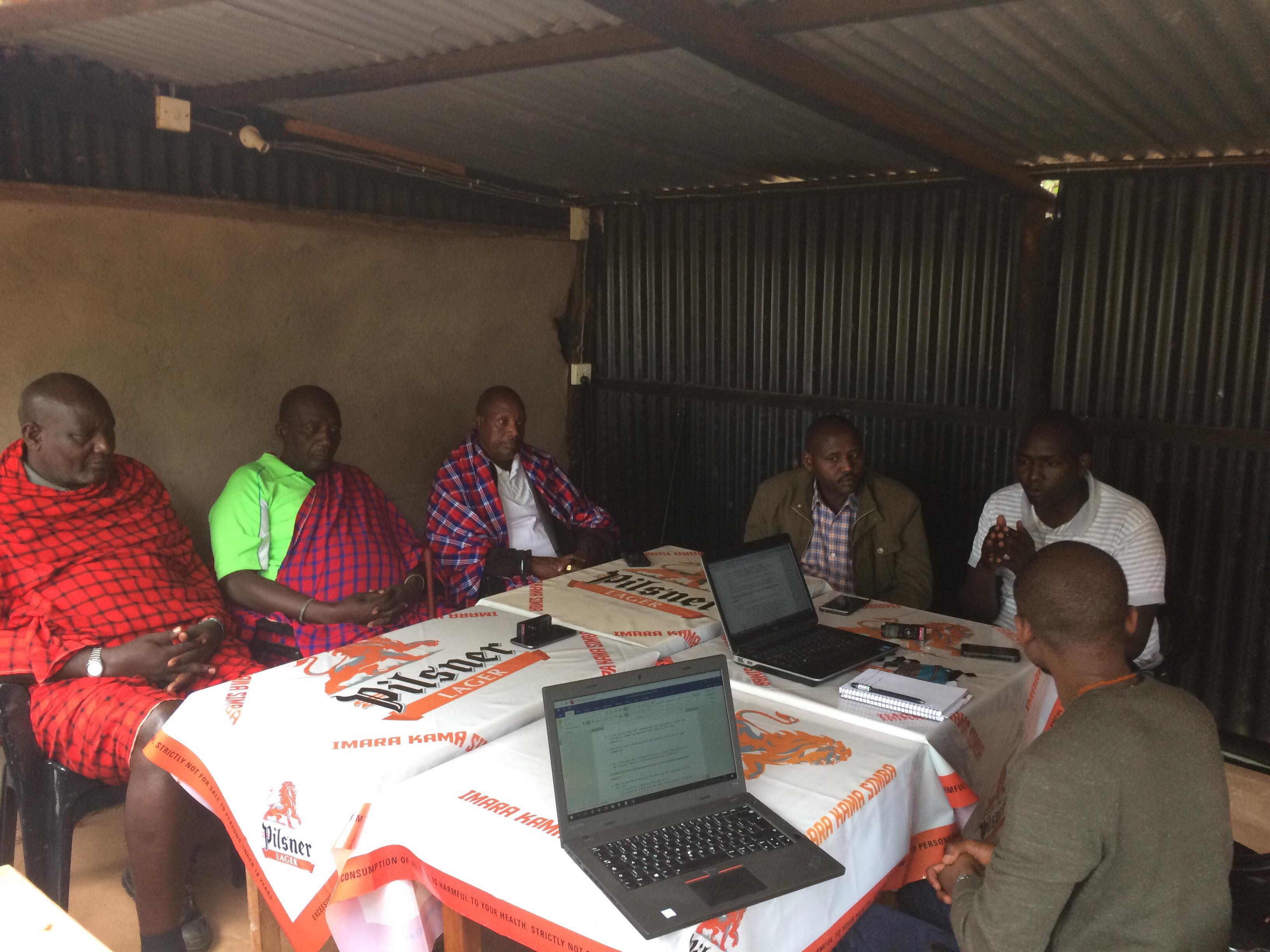
On the shoulders of giants – learning about contemporary Maasia land customs from elders of a Maasai community in Kajiado county.

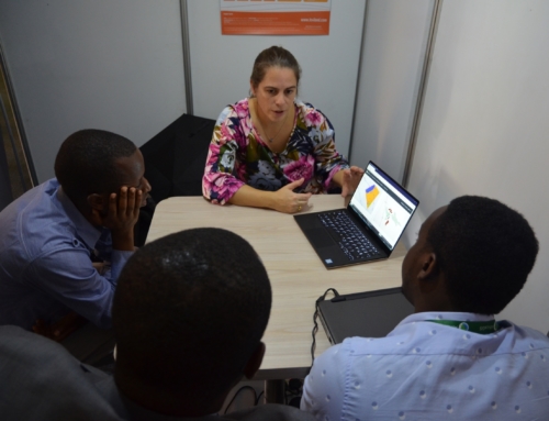
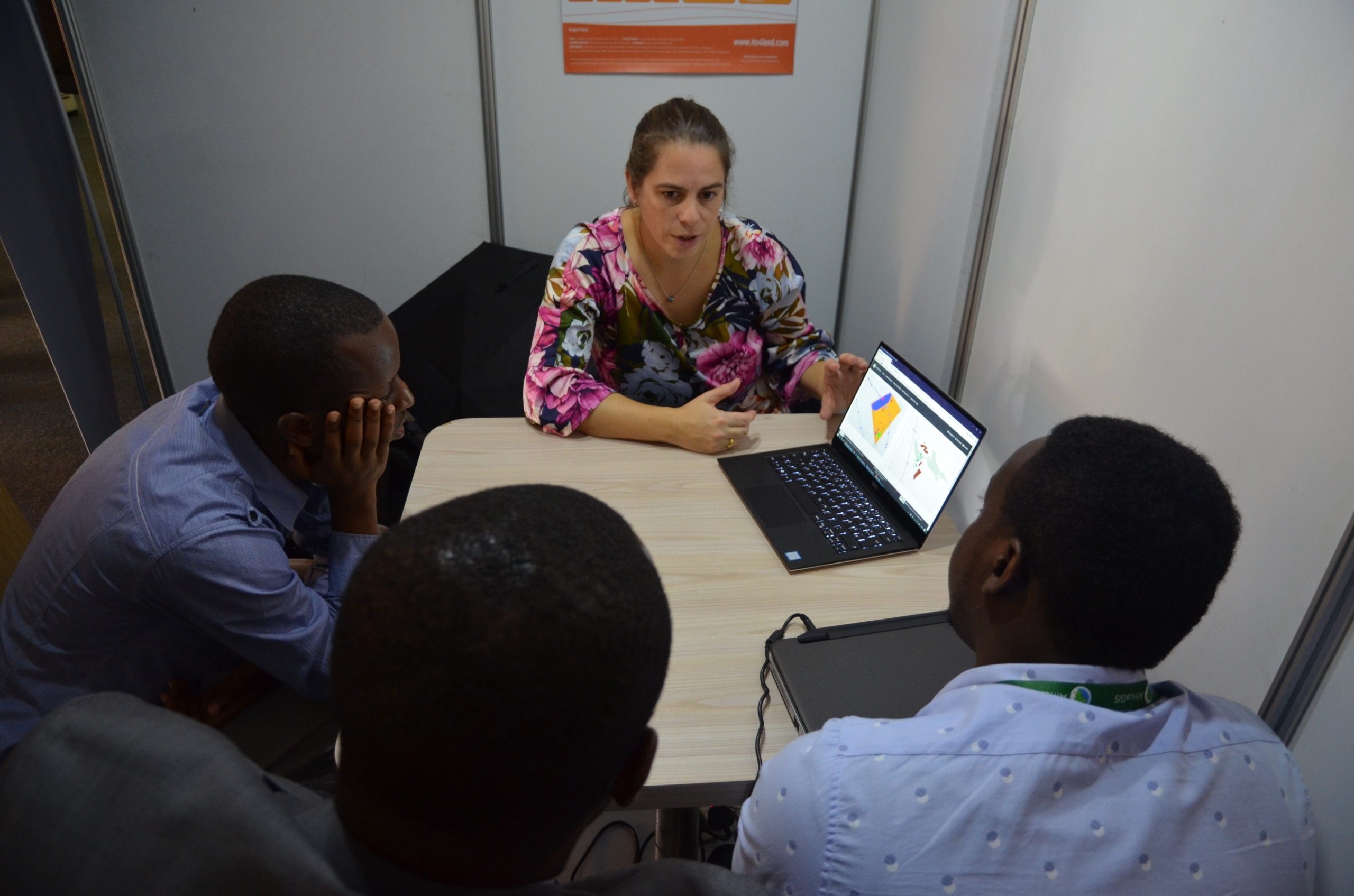
Discussion of Smart Skema with local government officials in Kajiado.

Discussion of Smart Skema with national government officials in Nairobi.
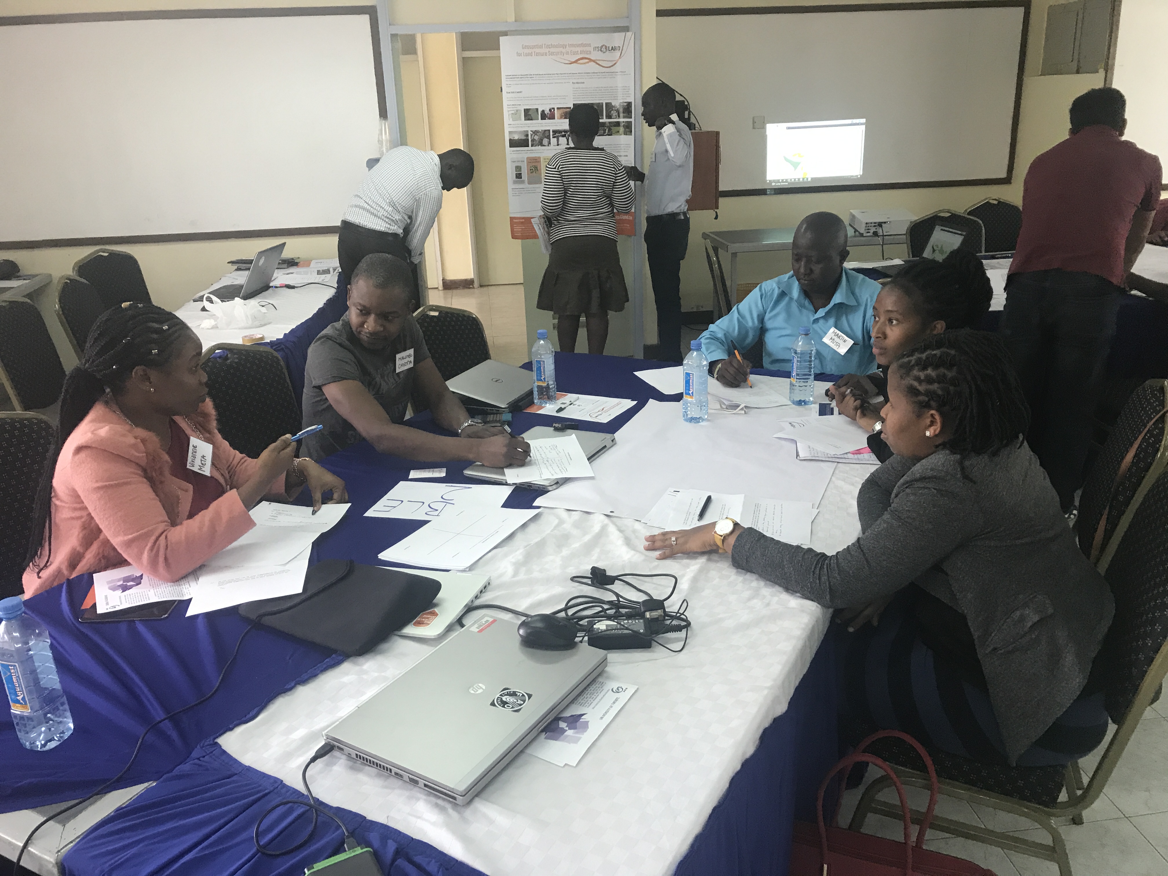
Evaluating the applicability of Smart Skema to use case scenarios encountered by NGO’s, private companies, and academia.


Recent Comments