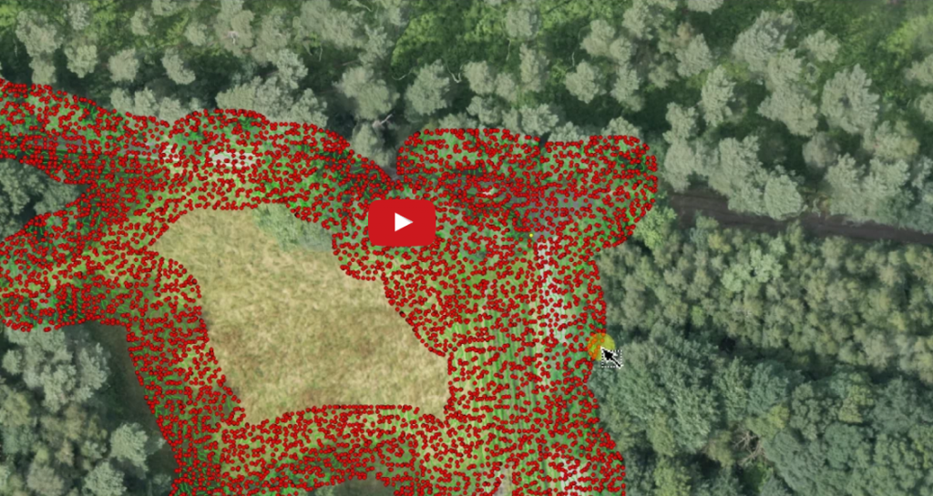
What: Towards Automated Cadastral Boundary Delineation from UAV data – a new its4land report.
Where: directly download the report or visit the ‘Automate It‘ section of the its4land website.
When: July 2017
Who: Sophie Crommelinck, Michael Ying Yang, Mila Koeva, Markus Gerke, Rohan Bennett, and George Vosselman.
Why: Sophie Crommelinck, lead of work package 5, ‘Automate It’, has updated her section of the its4land website with the latest developments on her work. The section includes a link to a report of the current state of work on ‘Automate It’ describin all workflow elements and the final QGIS plug-in allowing to intergrate user interaction in the automated mapping procedure.

Recent Comments