
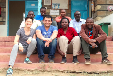
What: WP3 Kenyan Data Capture
Where: Kajiado and Nairobi, Kenya
When: 26th February to 10th March
Who: Malumbo Chipofya, Jan Sahib, Gordon Wayumba, Robert Wayumba, Peter Odwe, and a whole host of others
Why: Dialogue and data capture with local communities to support prototyping of smart sketchmaps for Kenyan context.
The main objective of the field visit was to collect data about land tenure related concepts in Kajiado County, specifically around the Mailua group ranch. To achieve this we prepared a questionnaire and two sketching tasks. We have collected data (sketch maps) from three different communities.
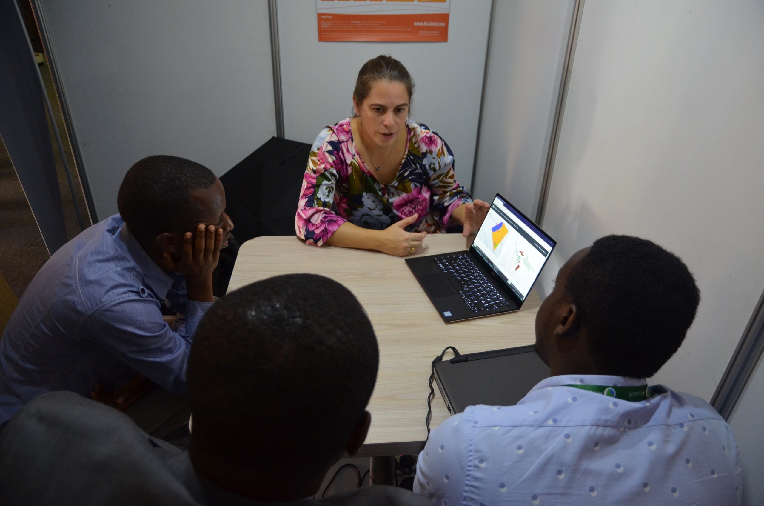
We also spent several days meeting with other parties of interest in Nairobi including Mr George Osewe (Technical University Kenya) and Mr. Byron Anangwe (RCMRD). We presented our approach and discussed how sketching can be made useful for building consensus about boundaries in a general boundary system.
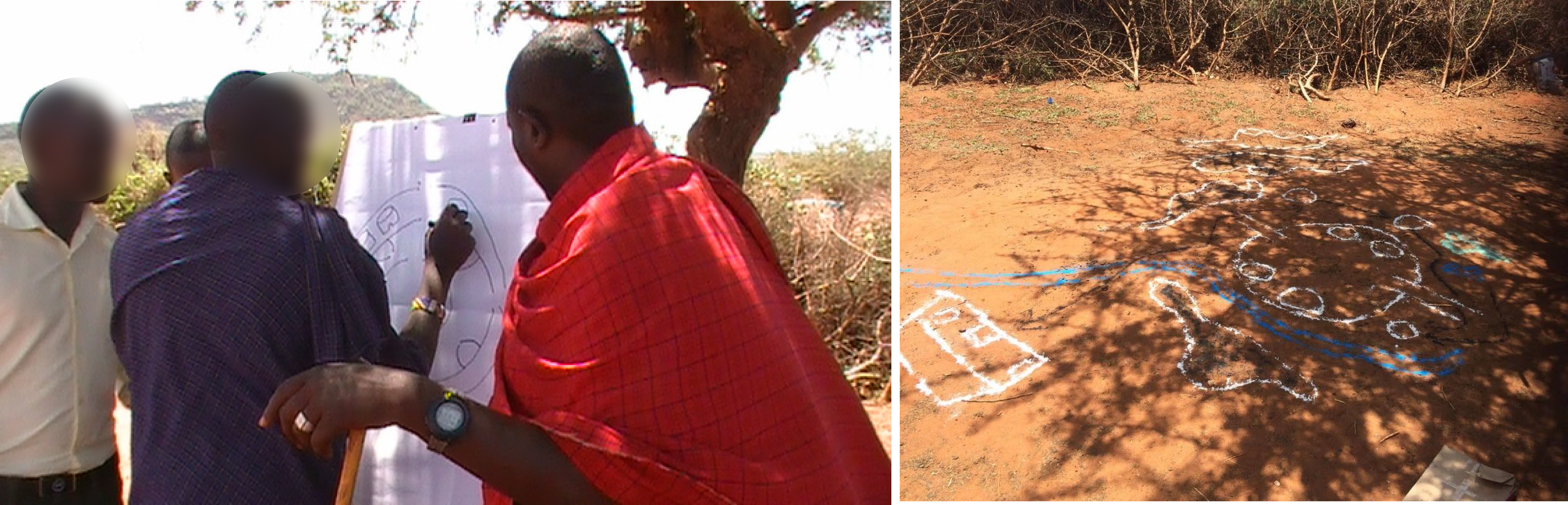
Sketching is a versatile medium: A sketch on a piece of paper and in the sand in Kajiado county in Kenya.


Recent Comments