
its4land’s work package 7 (WP7) – ‘Govern and Grow: Sustainable governance and capacity building’ recently delivered its 4th deliverable (D7.4). WP7 deals specifically with the development of a governance and capacity development model to support the implementation and evaluation of innovative technologies and their use to meet stakeholders’ needs so that the innovation process can have sustainable effects.
D7.4 presents the refined analytical tools developed to assess the governance and capacity development frameworks in Rwanda and Kenya. Based on the Fit-for-purpose (FFP) approach, we have developed two novel assessment frameworks, Fit-for-Purpose Governance Assessment Framework (FGAF) and Fit-for-Purpose Capacity Assessment Framework (FCAF), to assess the compatibility of the contextual framework with the implementation of the its4land land administration toolbox. The toolbox contains four tools to implement in the land administration system. These are unmanned aerial vehicles (UAV), smart sketch maps (SSM), automated feature extraction software (AFE), and publish and share platform (P&S).
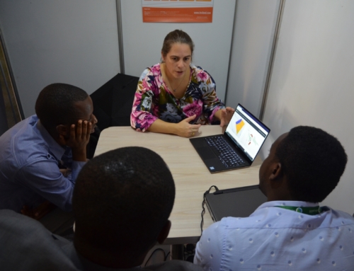
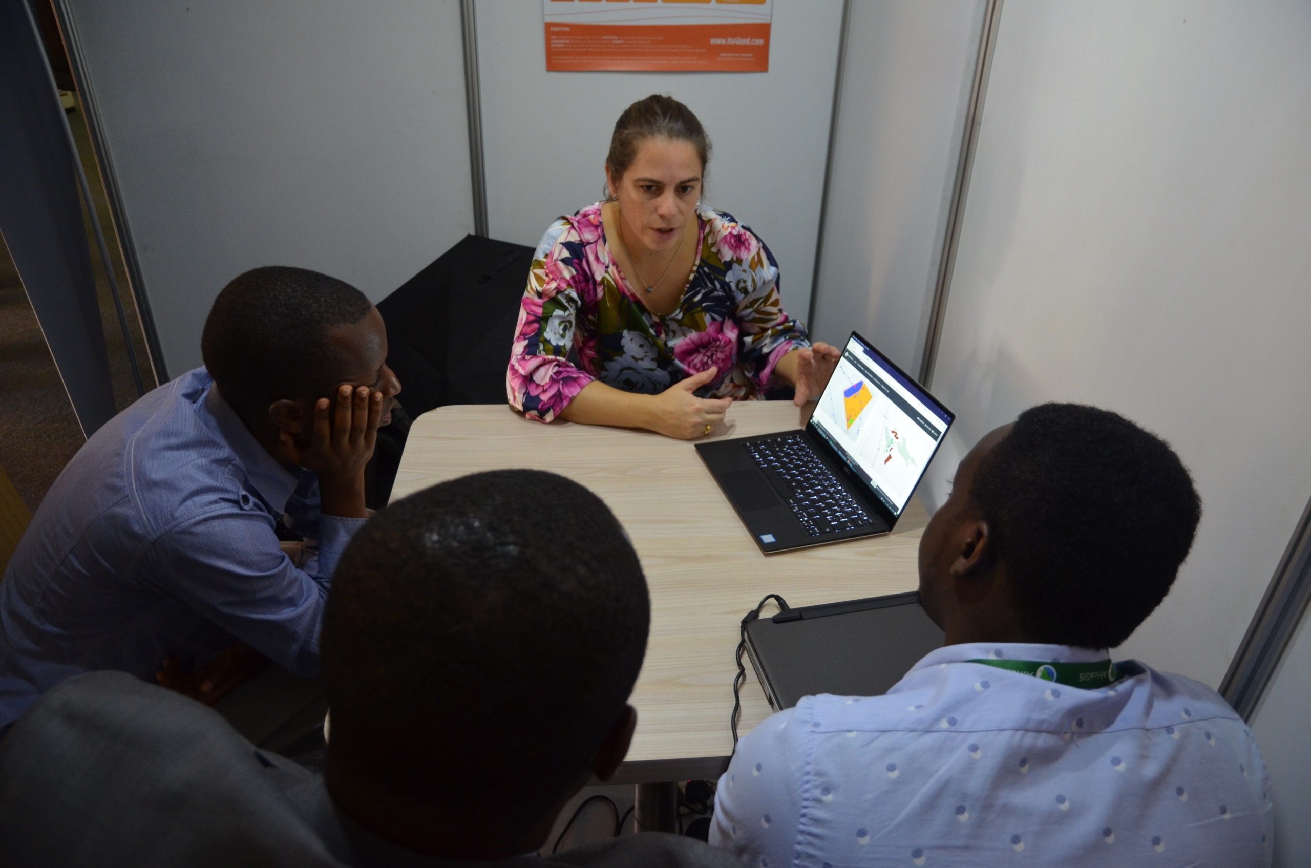
The case study in Rwanda and Kenya adopted a qualitative approach in its analysis based on the semi-structured and in-depth interviews. The fieldwork in Rwanda took place in June-July 2018 with a total of 38 interviews conducted in Musanze and Kigali. The fieldwork in Kenya took place in September-October 2018 in Kaijado and Nairobi with a total of 16 individual interviews and three one-day workshops with 51 local stakeholders.
 |
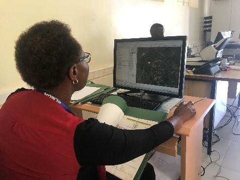 |
| Fig 1: Interview with Busogo sector land officer, Rwanda | Fig 2: Province officer shows how to delineate boundaries, Rwanda |
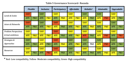
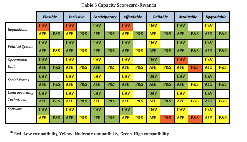
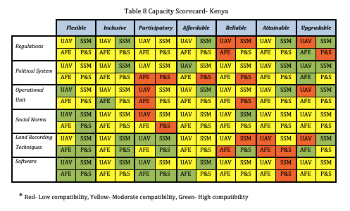
The findings from the fieldwork were synthesized with the results of the pilot tests and prior work conducted in the other its4land work packages and complemented with the secondary sources. The final results are presented through the its4land scorecard, which shows the land administration system’s compatibility according to the FGAF and FCAF. This compatibility is ranked as low, moderate and high.
 |
 |
 |
 |
| Fig 3: The rows represent the seven principles of Fit4Purpose. The columns represent correspondingly the governance and capacity assessment dimension. The its4land land administration toolbox contains four tools to implement in the land administration system. These are unmanned aerial vehicles (UAV), smart sketch maps (SSM), automated feature extraction software (AFE), and publish and share platform (P&S). |
The analytical tools portray a multifaceted and interlinked overview of the capacity development and governance challenges that Rwandese and Kenyan public officials and stakeholders can face during the adaptation of the its4land land administration toolbox in the land administration system. The final deliverable will share the policy recommendations for Rwanda and Kenya on how to implement the its4land toolbox sustainably. The models will then be used to study potential governance scenarios, concerning policy, in the case countries. This report will be available through our website on February 2020.


Recent Comments