Latest Tech News
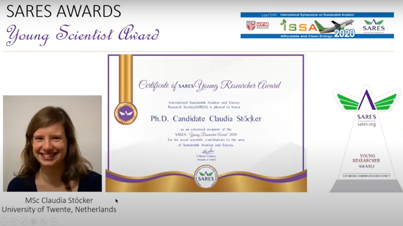
its4land’s PhD wins award
What: its4land PhD Claudia Stocker from University of Twente/ITC wins the young researcher award from the International Sustainable Aviation and Energy Research Society - SARES Where: Online at the SARES 2020 Award Ceremony, International Symposium on Sustainable Aviation When: 9-12 November 2020 Who: Claudia Stocker, University of Twente/ITC, Netherlands Access to the “SARES 2020 Award [...]
its4land video: project in a nutshell
The its4land project has come to an end on 31 January 2020. We produced a short video that recaps the project in a nutshell. Enjoy!
its4land – Period 3 – European Commission Review
What: its4land - Period 3 - European Commission Review Where: Brussels, Belgium When: 27 January 2020 Who: EC Review Panel, Jorge Santos, its4land MT (and 2 external independent experts) Why: A one day review corresponding to the third and final reporting period took place on Monday, 27 January 2020 at the European Commission in Brussels, Belgium. During this workday the [...]
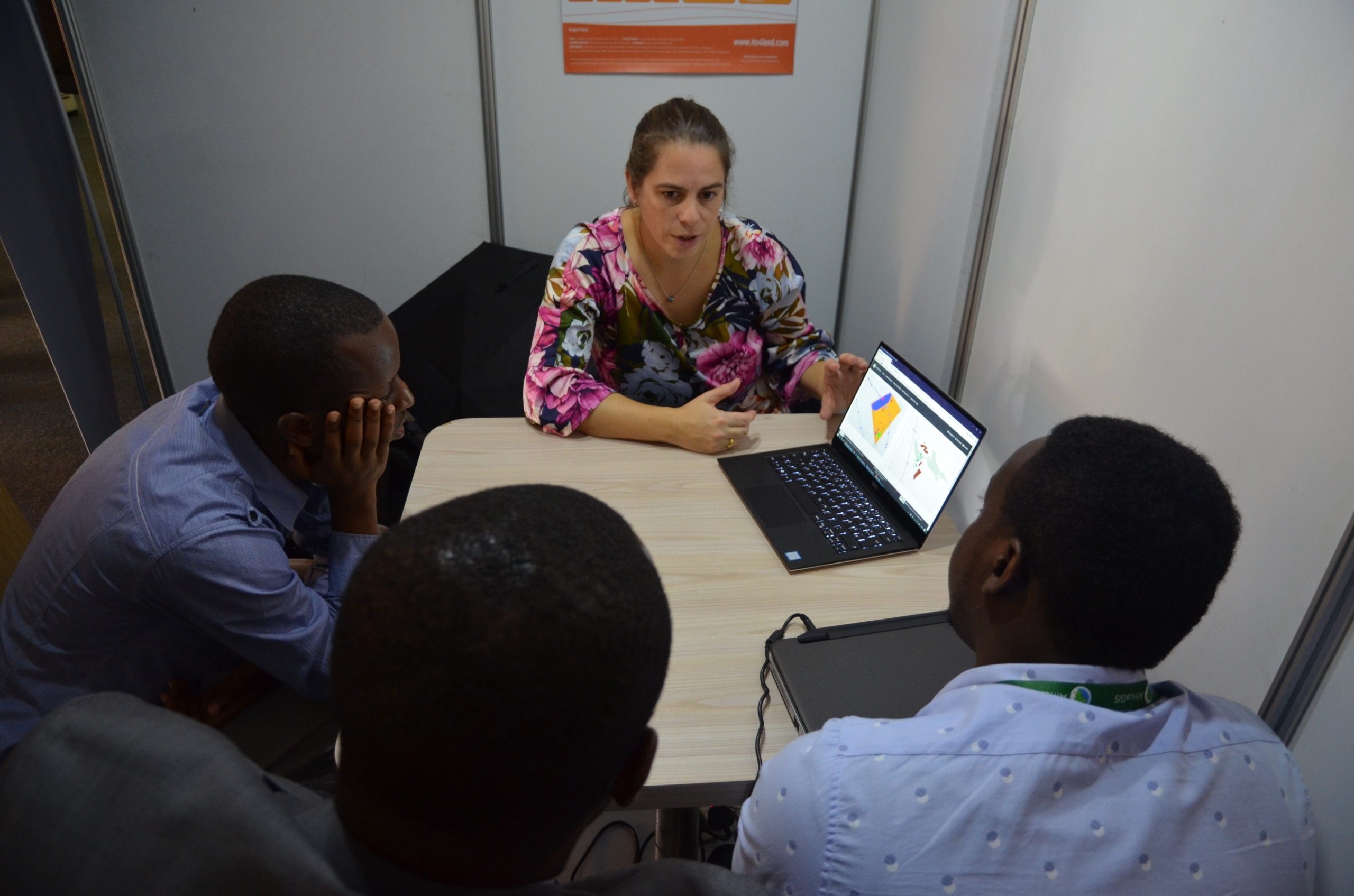
its4land Land Administration Toolbox launched at AfricaGIS
AfricaGIS is the largest geospatial, science and technology conference on the African Continent. The conference is held every two years and is organised by EIS-Africa, a pan African non-profit organisation. The AfricaGIS conference and exhibition series have become a flagship geospatial information marketplace in Africa. For the past 20 years, the series have contributed immensely [...]
Annual NCG Symposium
What: Annual NCG Symposium Where: ITC, Enschede, Netherlands When: Thursday, 21 November 2019 Who: Mila Koeva, its4land project coordinator, gave a presentation Why: The NCG Symposium is for all researchers and students of Dutch universities, academies and institutes that are active in the field of Geodesy and Geo-Informatics. The results from the assessment of the innovative Its4land tools were [...]
Cadastral mapping faster and cheaper thanks to automation
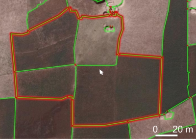
Cadastral mapping can be a lot cheaper and faster thanks to a 'smart' interactive computer program developed by UT PhD student Sophie Crommelinck. Read more about her research on the UT website. Sophie had her PhD defence on “Automatic image-based cadastral boundary mapping” on 25 October 2019. Want to know more about Sophie's work? Her [...]
Intergeo 2019
Intergeo is the largest platform of the geopatial community worldwide. This year the conference celebrated its 25th anniversary and took place in Stuttgart, Germany, from 17 – 19 September 2019. The conference hosted more than 680 exhibitors from all over the world which showed their innovations. Hansa Luftbild is an annual exhibitor and used this [...]
CALL FOR PAPERS – for special issue ‘Remote Sensing for Land Administration’
CALL FOR PAPERS - Special issue “Remote Sensing for Land Administration” The deadline for paper submission was extended to 16 December 2019. Mila Koeva and Rohan Bennett as two of the guest editors are glad to invite you to submit papers that adress the following topics: Comparisons of alternate remote sensing techniques for 2D and [...]
EALAN conference, Zanzibar
What: its4land presentations at EALAN AGM and conference 2019 Where: Zanzibar, Tanzania When: 16-26 July 2019 Who: Sophie Crommelinck, Claudia Stöcker (University of Twente/ITC, Netherlands) The EALAN conference was a 1.5 days conference with about 110 participants, mainly from the Eastern African Region but also with European representatives from various projects such as ADLAND, its4land and NELGA. Claudia [...]
Strengthening strategic collaborations of its4land in Zanzibar
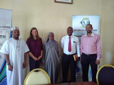
What: Strengthening strategic collaborations of its4land in Zanzibar Where: Stone Town, State University of Zanzibar When: 23 July 2019 Who: Claudia Stöcker, University of Twente/ITC, Netherlands Why: Zanzibar is a potential case location to continue with its4land related activities and even an implementation of the its4land land administration toolbox. Thus, we are seeking to formalize [...]



Recent Comments