
What: Joint UAV data acquisition with RLMUA
Where: Musanze, Rwanda
When: 5 February 2019
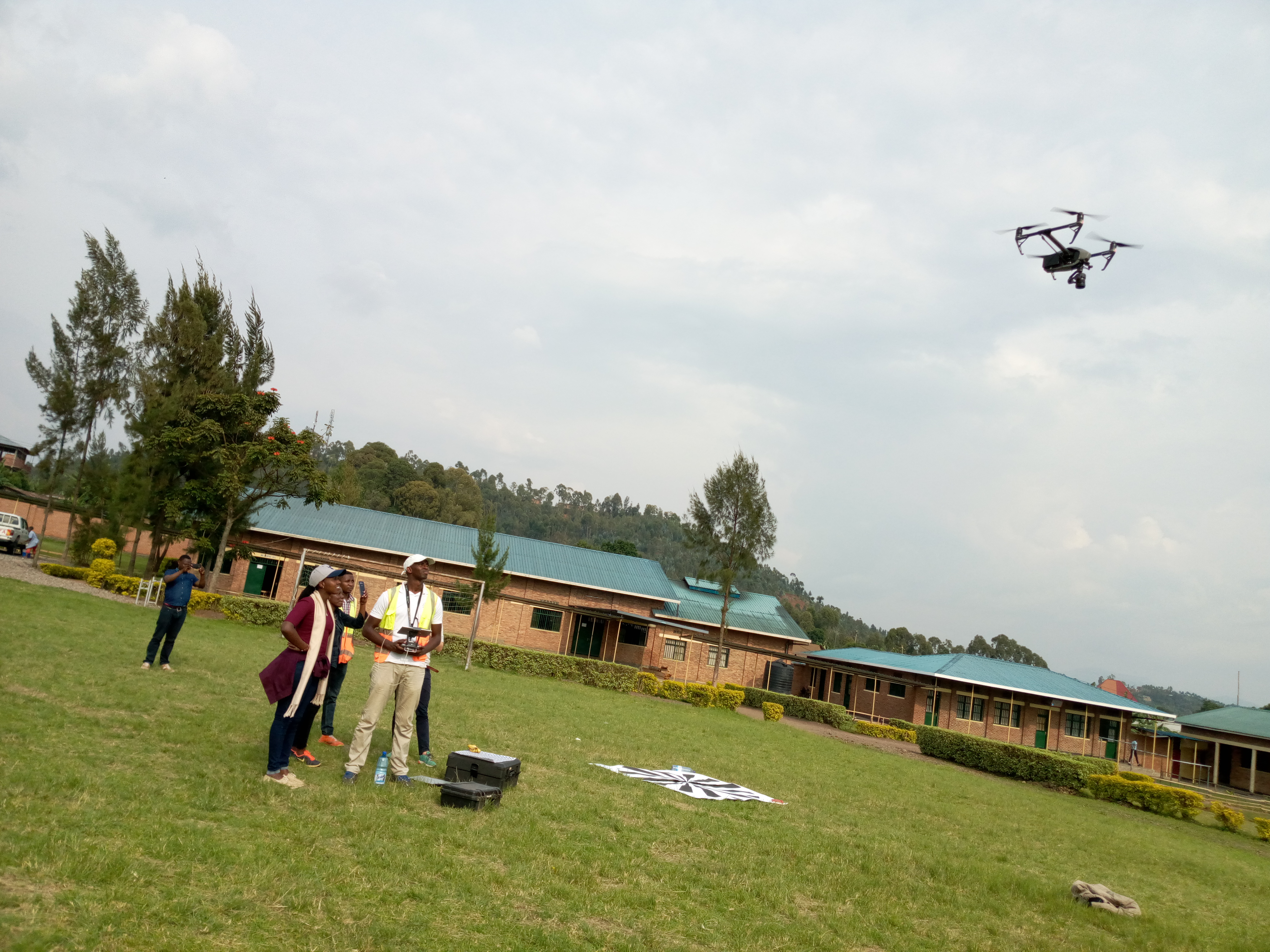
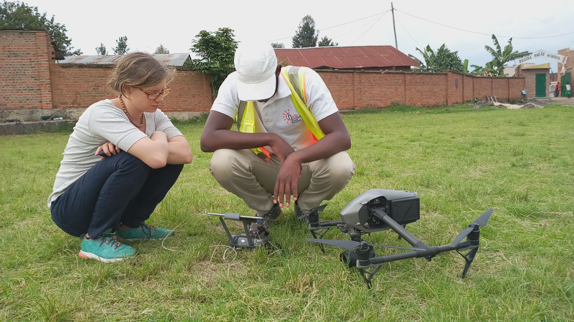
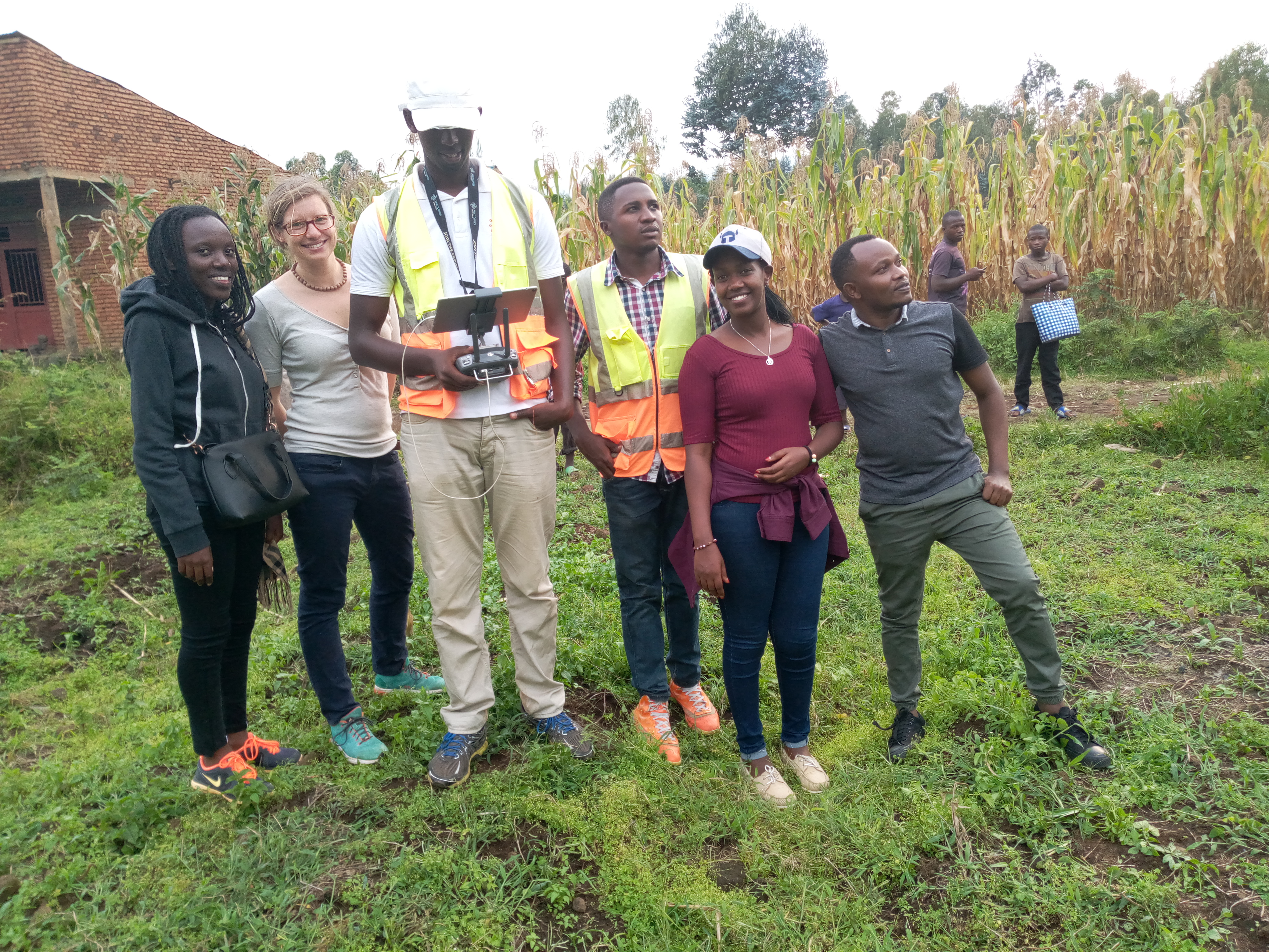
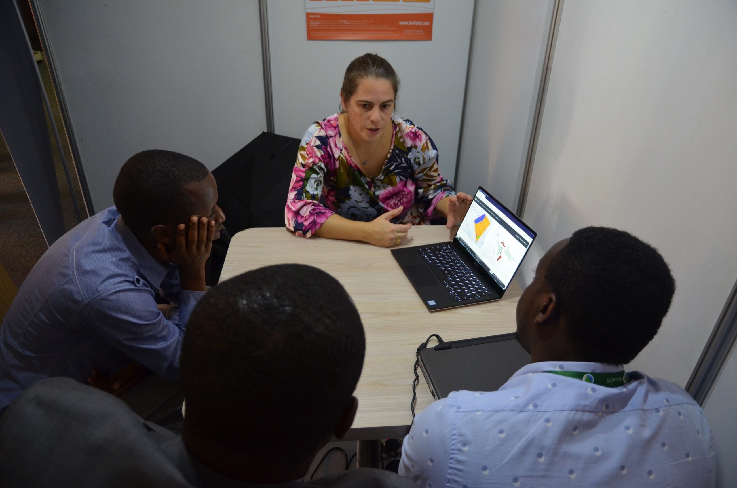
What: Joint UAV data acquisition in Musanze to implement the established MoU between Rwanda Land Management and Use Authority (RLMUA) and Esri Rwanda, Charis UAS, INES Ruhengeri, and University of Twente, Faculty of Geo-information Science and Earth Observation (ITC). During our data acquisition, the registered operator of Charis UAS piloted the UAV. Although the flight conditions were challenging, we managed to capture more than 8000 images covering 300ha with very high resolution images (2.2cm). In a collaboration with local stakeholders, this precious dataset will support planning activities and updating of cadastral data. INES Ruhengeri and Esri Rwanda supported our efforts with GNSS measurements of Ground Control Points. Two representatives of Rwanda Land Management and Use Authority accompanied the UAV flights to assess the performance of this new data acquisition technology.


Recent Comments