
What: Participatory mapping of cadastral boundaries in Rwanda through the use of UAV captured orthopotos
Where: Musanze, Rwanda
When: 11 February 2019
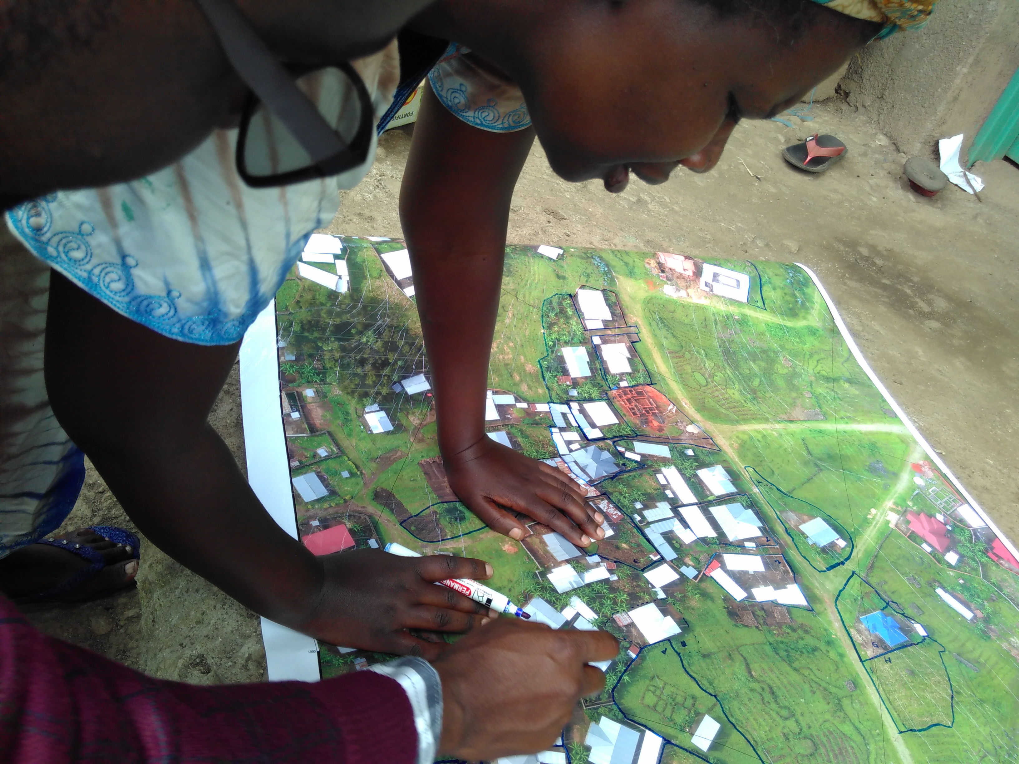
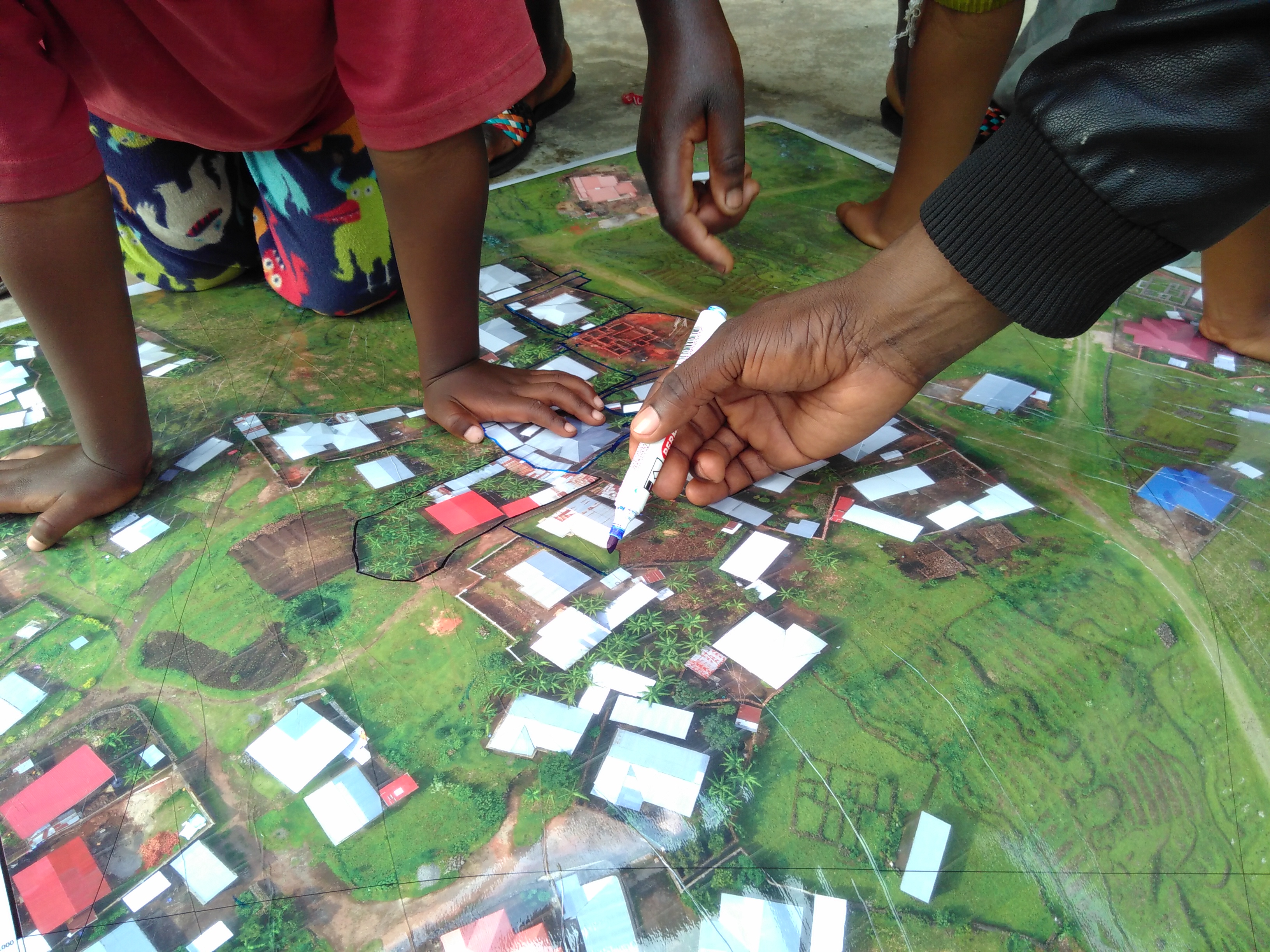
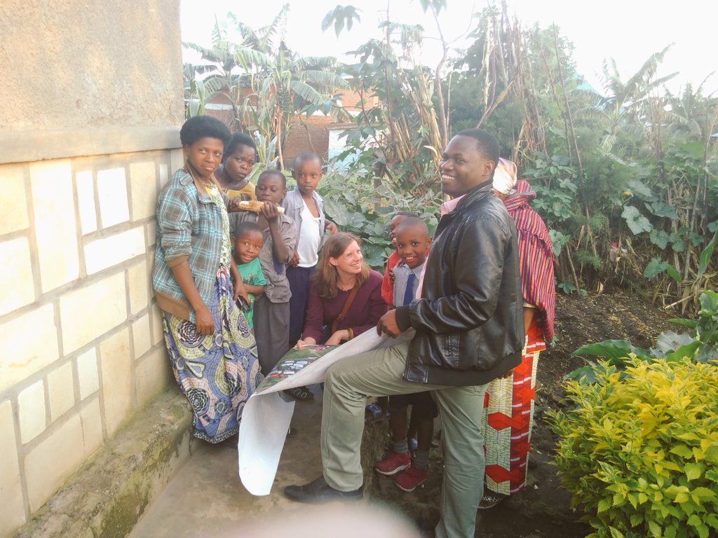
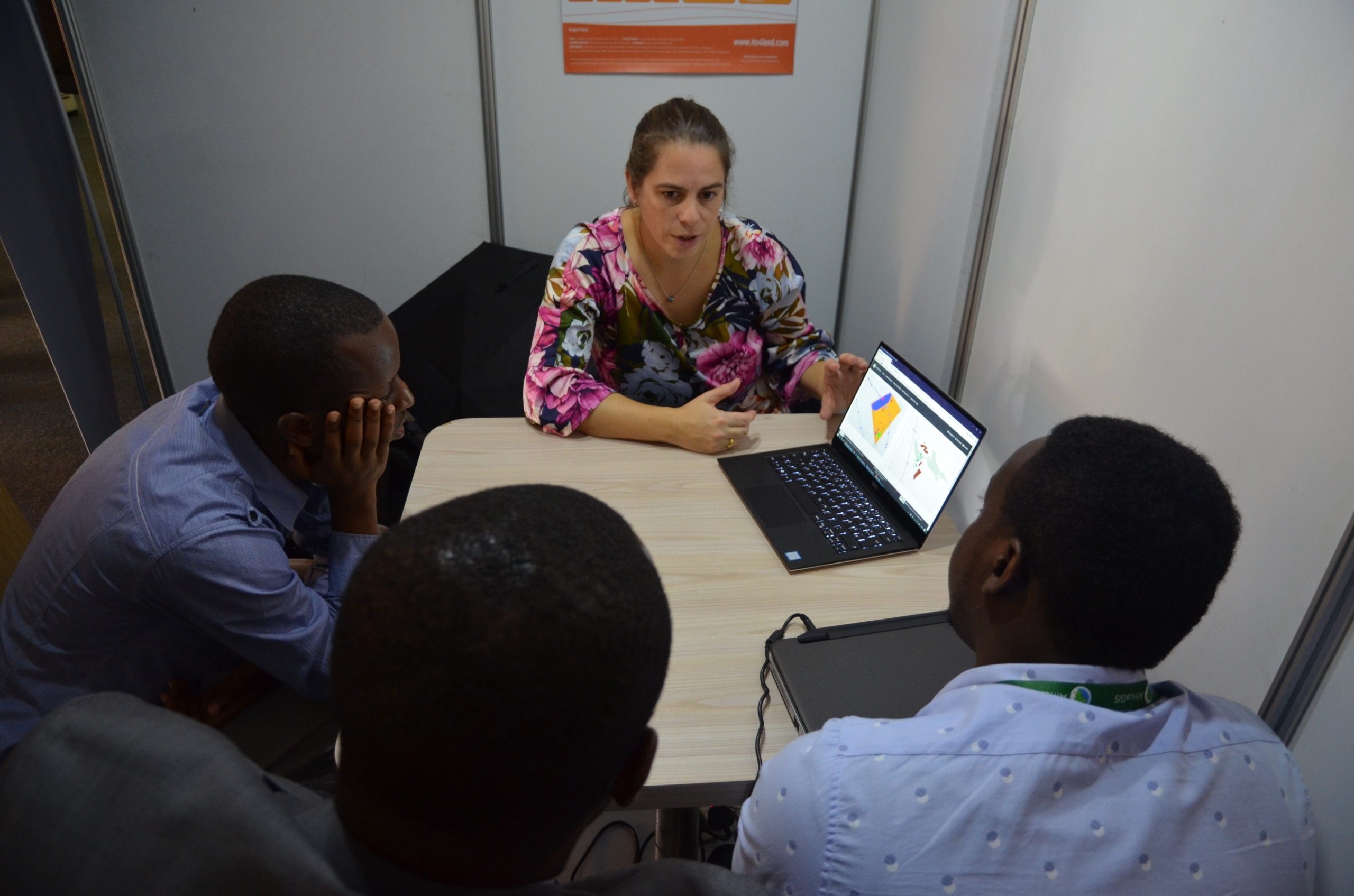
its4land researcher Claudia Stöcker investigated the opportunities to use UAV datasets for participatory mapping of cadastral boundaries in Musanze, Rwanda. More than 30 households participated in this activity. The high level of detail of the large scale photos made it easy for the residents to spot their land and delineate their boundaries on the printed orthophoto. Next steps include a comparison of the results with the formally registered boundaries in the Land Administration Information System of Rwanda. This will provide insights into opportunities to update the current system.


Recent Comments