What: Land and Poverty Conference 2019: Catalyzing Innovation
Where: Washington DC, United States
When: 25-29 March 2019
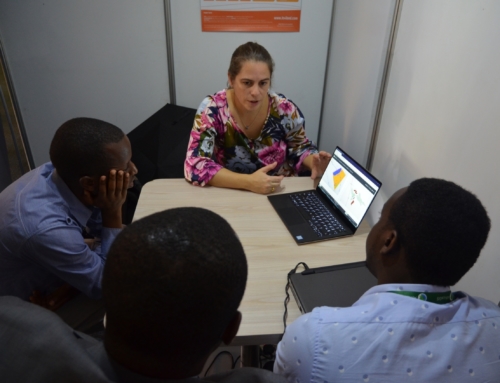
Who: its4land gave a 90-minutes masterclass on Friday 29 March as well as three presentations.
Output:
Find below the programme of the its4land masterclass that we conducted, the presentations that were given and the videos that were shown.
- The programme of the its4land masterclass
- A presentation composed of individual presentations about the its4land tools
- A video about SmartSkeMa, a sketch based geospatial data recording tool for community mapping
- A video about a semi‐automatic delineator of visible cadastral boundaries from aerial imagery
You can download the papers through the following links:
- Claudia Stöcker et al: Evaluation of UAV-based technology to capture land rights in Kenya: displaying stakeholder perspectives through interactive gaming
- Ine Buntinx et al: Governance frameworks for the sustainable implementation of UAVs in Rwanda.
- Serene Ho et al: Scaling emerging geospatial technologies for land administration: understanding institutional innovation dynamics through a Technological Innovation System perspective
- Masterclass: “Its4land” – innovative geospatial tools for fit-for-purpose land rights mapping


Recent Comments