Latest Tech News
Project coordination change at INES Rwanda
What: Project coordination change at INES Rwanda Where: Institut d’Enseignement Supérieur de Ruhengeri, Rwanda (INES) When: 16 October 2017 Who: Placide Nkerabigwi and Jossam Potel replace Mereille Biraro as new its4land contacts at INES Why: Mireille Biraro, its4land contact at Institut d’Enseignement Supérieur de Ruhengeri, Rwanda (INES) has handed over her tasks to Placide Nkerabigwi and Jossam Potel as she [...]
The ISPRS Geospatial week 2017
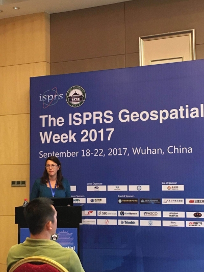
What: The ISPRS Geospatial Week 2017 Where: Wuhan, China When: 18 - 22 September, 2017 Who: Mila Koeva, University of Twente, Netherlands Why: Mila presented a paper at the ISPRS Geospatial Week 2017: "Towards innovative geospatial tools for fit-for-purpose land rights mapping".
its4land work presented at UAV-g
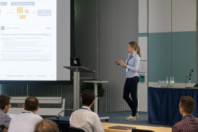
What: UAV-g 2017 - International Conference on Unmanned Aerial Vehicles in Geomatics Where: Bonn, Germany When: 4 - 7 September, 2017 Who: Sophie Crommelinck and Claudia Stöcker, University of Twente, Netherlands Why: Scientific conference on Unmanned Aerial Vehicles (UAV) regarding recent developments and future directions of UAVs in geomatics research, applications and service. The objective for both Sophie and Claudia was to [...]
Requirements synthesis of land tenure information needs ready
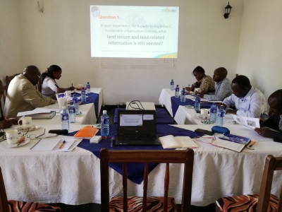
Over the last year, ‘Get Needs’ (work package 2), led by KU Leuven, has engaged with almost 60 organisations and community groups (around 100 individuals) across Rwanda, Kenya and Ethiopia and sought to identify relevant land issues, document land tenure information needs in response to the challenge of sustainable urbanisation, readiness requirements for using its4land technologies [...]
Meeting the European Commission DG Research & Innovation
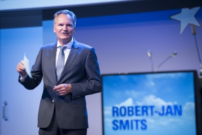
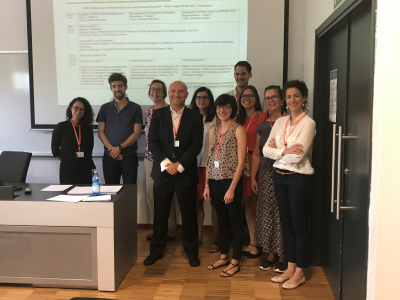
What: a meeting between the University of Twente's H2020 coordinators and the Director-General for Research and Innovation of the European Commission, Mr. Robert-Jan Smits. Where: University of Twente/ITC, Enschede, Netherlands When: 4 September 2017 Who: Mila Koeva, representing the its4land project, along with her H2020 colleagues at the University of Twente. Mila gave a short presentation on the its4land project.
Governance models to support the implementation of innovative tools
What: 2017 European Group for Public Administration (EGPA) Annual Conference - EGPA Symposium for doctoral students and junior researchers Where: Milan, Italy When: 30 August – 1 September, 2017 Who: Ine Buntinx, KU Leuven Public Governance Institute What: EGPA’s PhD symposium provided an ideal opportunity for Ine to share her research insights and ideas with peers [...]
its4land reports from QGIS 2017
What: 18th QGIS User Conference and Developer Meeting Where: Nødebo, Denmark When: 2 - 11 August, 2017 Who: Sophie Crommelinck, University of Twente, Netherlands Why: To give a presentation about current state of Ph.D. work and the developed QGIS plugin at the 2-day conference and second, to improve implementation and usability of the plugin during 3-day developer meeting. Sophie reports: [...]
Capturing end-user needs: lessons learned
The work package, ‘Get Needs’ (work package 2), led by KU Leuven, is the foundational phase of the its4land project. It is fundamentally about capturing the end-user and market opportunities regarding land tenure recordation tools in the three East African countries, with respect to the four geospatial technologies identified in its4land. The empirical component of [...]
From a hand drawn map to meaningful digital objects in a automated way: its4land delivers
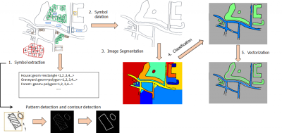
On 31st July researchers from University of Münster, Germany, Bahir Dar University, Ethiopia, and the Technical University of Kenya, delivered two prototypical components of its4land's Smart Sketch Maps system. The delivered pieces are an important part of what makes smart sketch maps “smart”: they make it possible to identify explicitly drawn spatial objects and assign [...]
Rural communities in Kenya and Ethiopia sketching maps
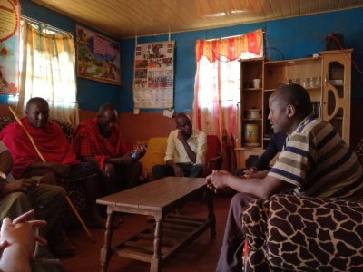
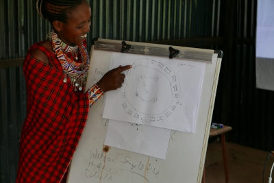
The its4land team reports The University of Munster tag-team of Malumbo Chipofya and Sahib Jan went on a field work marathon in Kenya and Ethiopia from 21st June 2017 to 30th June 2017. From the duo's perspective the visit was very successful. In Kenya they organized workshops with three families in the Mailua and Lorng'osua group ranches. [...]

Recent Comments